Table of Contents
- Geographic Map of Tunisia
- Physical Map of Tunisia
- Political Map of Tunisia
- Strategic Position of Tunisia
- Economic Importance of Tunisia
Geographic Map of Tunisia
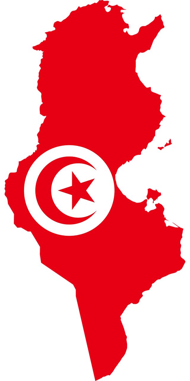
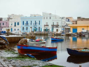
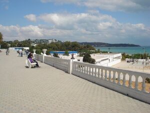
Tunisia is a country located in the Maghreb area, a region of North Africa that also includes Morocco and Algeria. With a relatively small area compared to its neighbors, Tunisia has a varied landscape: from the Mediterranean coast to the desert areas of the south. The geographic map of Tunisia reflects the variety of its territory, from the fertile coasts in the north to the arid regions of the Sahara Desert in the south. The capital, Tunis, is located in the north, near the Mediterranean Sea, a detail that highlights the maritime relevance of the country for its economy and its strategic position.
In addition to the urban areas concentrated mainly in the north, the south of Tunisia is characterized by deserts and oases. The Atlas mountain range crosses the northern part of the country, marking the natural border with Algeria and contributing to the climatic and environmental diversity. The entire country has a homogeneous population, with most of the inhabitants being of Arab ethnicity and a Berber minority.
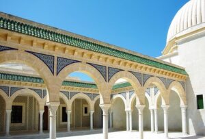
This geographic map of Tunisia also highlights important natural and cultural resources, with numerous historical and archaeological sites scattered throughout the territory, in particular the ruins of Carthage and other evidence from the Roman era. Tunisia therefore offers a fascinating landscape that combines nature and history, attracting tourists from all over the world.
Physical Map of Tunisia
The physical map of Tunisia highlights the different characteristics of the territory: mountains, plains and desert areas. The Atlas mountain range extends to the north, providing a stark contrast to the flatter regions of the center and south. This physical conformation contributes to the climate variation, with a temperate Mediterranean climate in the north and an arid climate in the south.
The main river of Tunisia, the Medjerda, flows north-east and is essential for agricultural irrigation in the northern areas. The southern regions, on the other hand, are dominated by the Sahara Desert, which occupies a large part of the territory. This area is known for its sand dunes and oases, including Douz and Tozeur, which are also tourist attractions.
The physical map of Tunisia also provides information on the ecological diversity of the country. The coasts and mountainous areas are home to a variety of flora and fauna, while the desert presents a unique environment with species adapted to water scarcity. This combination of physical characteristics makes Tunisia an interesting destination for natural explorations and adventurous trips.
Political Map of Tunisia
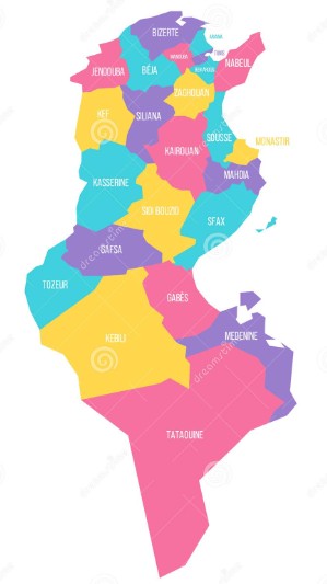
The political map of Tunisia shows the administrative divisions of the country. Tunisia is divided into 24 governorates, each of which has a certain administrative autonomy. These governorates include the main cities such as Tunis, Sfax and Sousse. Each governorate has its own capital and is home to various districts and municipalities that facilitate the management of the territory.
From a political point of view, Tunisia has undergone significant transformations after the Jasmine Revolution in 2011, which led to the creation of a democratic system. The current Tunisian constitution was adopted in 2014, establishing a model of government based on a balance between legislative, executive and judicial power.
The political map of Tunisia offers a useful overview to understand the administrative structure of the country and the role of each region. Each governorate has specific responsibilities for the management of local resources, education and social services. This administrative structure reflects the cultural and historical variety of the country, adapting services to the needs of different local communities.
Strategic Position of Tunisia
Located between Algeria to the west and Libya to the south-east, Tunisia enjoys a strategic position in the Mediterranean. It is located a few hundred kilometers from Europe, with important access to the Strait of Sicily. This location has influenced Tunisia’s diplomatic and commercial relations, making it a bridge between Europe and Africa.
Tunisia has a long tradition of trade with Europe, especially with France and Italy, former colonial powers that have maintained close economic and cultural ties with the country. This positioning has favored Tunisia as a commercial and tourist hub, attracting European investments and tourists. In addition, the Association Agreement with the European Union, signed in 1995, has facilitated access to European markets.
Tunisia’s strategic position also makes it an important player in terms of regional security. The proximity to Libya and the geopolitical situation in the Maghreb and the Sahel influence the country’s security policies, particularly with regard to immigration and terrorism. Tunisia is therefore a key country for the stability of the Mediterranean and North Africa.
Economic Importance of Tunisia
Tunisia is an emerging economy with a particularly developed tertiary sector. About 60% of the national GDP comes from services, with a significant contribution from tourism. Tunisia’s natural and cultural attractions, such as the Mediterranean beaches and archaeological sites, attract visitors from all over the world. Tourism is an important source of income, also supporting sectors such as catering and transport.
The industrial sector accounts for about 30% of GDP. The main industries are textiles and footwear, as well as the production of machinery. Agriculture, although less relevant, plays an important role, providing products such as olives, cereals and dates for the domestic market and for export.
Tunisia also has strong economic relations with the European Union, which is its main trading partner. France, Italy and Germany are the top three partners in terms of imports and exports. Tunisia is trying to diversify its economy and attract more foreign investment to address challenges such as youth unemployment and the economic disparity between coastal and inland regions.
Read also the other our articles.
For more info, click here.
